

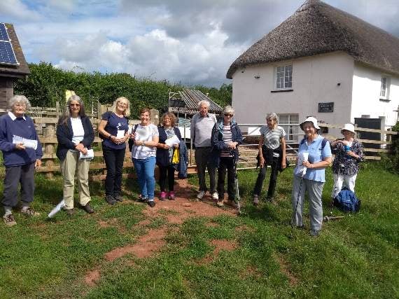
HOW many people have seen "The Narnia Door" from the outside and the inside but who hasn’t been through it? A dozen or so from the u3a History Group, for sure.
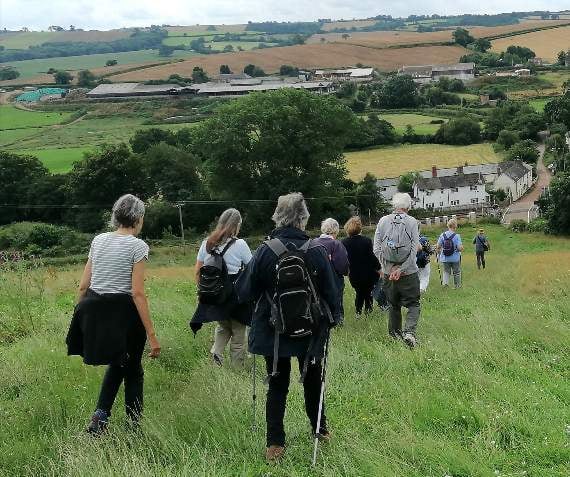
Our guided walk at the end of June focused on Crediton’s St Lawrence Chapel and its ancient estate. We visited the chapel itself – courtesy of the Friends of the same – talked about mediaeval records of the chapel and looked at how an ancient ruin had been transformed by a sympathetic restoration completed exactly 100 years ago, in 1921.
We then walked around the western part of the town and its immediate surroundings to take in a range of views over the large rural estate – the St Lawrence Lands – which had supported the activities of the Chapel and Hospital of St Lawrence in mediaeval times.
Part of that estate is known as “Chapel Downs” to this day.



We talked about the origins of the name “Landscore”. We mused on changing attitudes to social and medical care in mediaeval hospitals, early modern poor relief and almshouses, 19th century workhouses and the present day.
Coming back into the town we took note of the remnants of the long stretch of cob walls marking the northern edge of the ancient borough.
And the Narnia Door? In the mid-20th century, when QE School used the restored chapel as an annexe, the north door – apparently leading nowhere – somehow acquired the name of the magical door from "The Lion, the Witch and the Wardrobe". We didn’t have a key, but we certainly see some aspects of Crediton differently now.
CREDITON GREAT PARK
Our guided walk for July involved a circuit of one of Crediton’s least-understood gems – the Great Park.
In mediaeval times, and well into the 16th century, this was a deer park for the Bishop of Exeter – “a fair park to sport in”, as the saying went. Three maps from the 16th century through to the 19th century enable us to trace – and date - the development of paths and enclosures as the former park was transformed into a patchwork of smallholdings and latterly a few substantial farms.
Starting at St Saviour’s - which has made the change from deer park to car park – we tracked the southern boundary of the ancient borough (another long cob wall which has sadly disappeared in recent years) and made the ascent of Tinpot.
I’m not sure how many of our walkers believed my claim that the origins of the pathway here could be dated to somewhere between the 1570s and the 1590s. They were less surprised by my dating of those steep concrete steps to “modern times”.
The evidence of coppicing over many centuries, the breezy highlands of the ridge running along the top of the park, the panoramic views over rural Devon and an extinct volcano – we took them all in our stride. The descent of Breakheart proved that the steep hills are generally easier going down.
We talked about mills, leats, bridges and marshes and the importance of water management in days gone by. Turning back into the core of the park, we explored another part of the network of 16th century tracks (now modern-day public footpaths) which gave access to all those smallholdings, before leaving the park through what was once the “Broad Gate” but is now anything but broad.
As someone said: “I’ve done parts of this walk dozens of times over the years – but I had no idea how much history there is to be seen here.”
There’s more information about your local u3a at: https://u3asites.org.uk/crediton/home .
Tony Gale
Comments
This article has no comments yet. Be the first to leave a comment.