

AT the June 26 meeting of Thorverton History Society, members were treated to an exploration of the archaeology of the Lowman Valley in a chronological timeline all the way from the Ice Age to the Iron Age, establishing for many of us the surprising wealth of evidence that can be found on our doorstep.
Greg Chuter, our speaker, has had an interest in archaeology from an early age and now works as the Senior Archaeologist for the Environment Agency in the South West. He helpfully identified and explained to us the range of techniques available to the modern archaeologist from the traditional field walking and post war aerial photography which has helped to identify many man made features in the landscape through to contemporary LIDAR (Light Detection and Ranging) and geophysical surveys which use magnetometry, resistivity and electromagnetic sensitivity to assist mapping.
LIDAR is available to view on-line at: https://historicengland.org.uk/content/docs/research/using-ea-lidar-data-pdf/ .
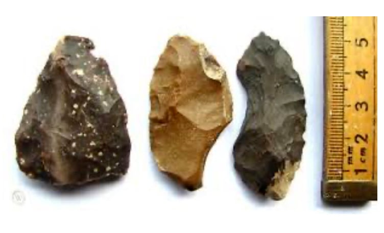
As a tributary of the Exe, the Lowman, with its relatively small and narrow valley provided an important focus for man from the early Mesolithic, evidenced by the many small flint tools found in the area which indicate the movement of hunter gatherers.




The era of post glacial warming encouraged this movement of people, as well as immigration and distinctly “British” technology adaptions for land clearance, settlements and farming techniques.
We start to see the appearance of causeway enclosures such as Henbury, burial sites, barrows and flint scatters in this river valley, rather than on higher ground.
Fine examples of these exist in the aptly names Longbarrow Field on UpLowman Road and the Blundell’s Henge discovered in the school playing field evidencing a move towards circular monuments (for those interested see The East and Mid Devon River Catchments National Mapping Programme Survey).
Into the Bronze Age, the manufacture of more effective tools encouraged an increase in both population and wealth as well as, unfortunately, the extinction of much of the native woodland that had once covered the area.
Rounded burial mounds appear, found in Silverton (Babylon Lane) and in UpLowman and with the coming of the Iron Age, new tools and effective cutting blades reinforced the need for defensive sites as these encouraged dispute, trading (now with coin) and the prospering of elites.
Two fine examples of such evidence are Huntsham Castle, an Iron Age Hill fort enclosure near the village of Huntsham, on a prominent hill overlooking the valleys of two separate tributaries to the River Lowman and also Cranmore Castle above Tiverton, a fort which overlooks the confluence of the Lowman and Exe and their forded crossings.
This was a structured, lively and informative talk with exciting examples and even some hands-on evidence brought in by Greg to “show and tell” from his field walks prompting much interaction and discussion, greatly enjoyed by the members.
Greg will hopefully be returning to enjoy our next speaker, Olaf Bayer, taking us through the Neolithic history of Thorverton at our next meeting and a field walk around Cadbury Castle, both in July.
We break in August from our programme but look out for our new talks in “Focus!”
Ann Marshall
Comments
This article has no comments yet. Be the first to leave a comment.