

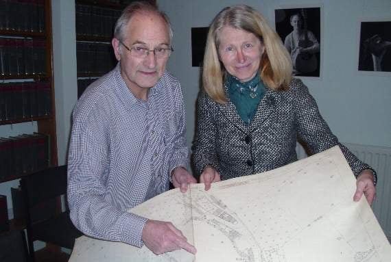
THE Crediton History and Museum Society was recently presented with a fine set of local Ordnance Survey maps dating from 1888, by local solicitor practice Quality Solicitors Charlesworth Nicholl, which has a history extending back into the 19th century.
Senior partner Chris Nicholl presented the plans to Society secretary David Nation.
She said: "It is good to know that there is somewhere secure where interesting documents like this can be lodged. When this is the local history archive, the fact that local people can access them for research is a big bonus.”
The maps are to a scale of one in 500, in which one mile is represented by 10.56 feet; a scale only used for urban areas, and large enough to show details of individual buildings and gardens.



Apart from one missing sheet, of which the Society already has a paper copy, the built-up area of Crediton in 1888 is shown on 12 sheets.
Mounted on cloth, their robustness makes it practical for them to be stored at the museum rather than the Downes archive, for more convenient viewing by society members.
Researchers and interested members of the public wishing to view the maps should make contact in the first instance through the society website: www.creditonhistory.org.uk or through the Crediton Museum “Facebook” page.
Alan Quick
Comments
This article has no comments yet. Be the first to leave a comment.